

JAKARTA - Tourist activity on Mount Bromo, East Java, which is part of the Bromo Tengger Semeru National Park (TNBTS) was not affected by the eruption of Mount Semeru that occurred on Sunday.
Head of the Data, Evaluation and Public Relations Sub-Division of the TNBTS Center Sarif Hidayat said that until now there has been no impact on the tourism sector on Mount Bromo due to the eruption of Mount Semeru.
"While there is no impact. Because the direction of the hot clouds falling like last year is heading southeast," said Sarif, quoting Antara, Sunday.
Sarif explained, although the Bromo tourist area in particular was not directly affected by the increasing activity of Mount Semeru, he still asked tourists in the area to be vigilant.
According to him, all tourists in the Mount Bromo area must follow the directions of the field officers of the TNBTS Center. His party will also continue to monitor the dynamics of Semeru activities from a number of nearby resorts.
"Regarding the dynamics of Mount Semeru, the Bromo area is not directly affected. However, this is an unpredictable natural event, so tourists must remain vigilant," he said.
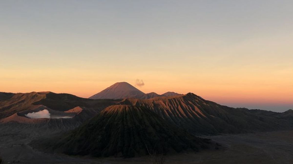
The Bromo area is located in a national park area with Mount Semeru. Bromo is located in four areas, namely Malang Regency, Probolinggo Regency, Lumajang Regency, and Pasuruan Regency.
Mount Semeru, which has a height of 3,676 meters above sea level (masl) in East Java, reportedly emitted hot clouds of avalanches on Sunday (4/12) since 02.46 WIB as far as seven kilometers.
The Center for Volcanology and Geological Hazard Mitigation (PVMBG) stated that the highest mountain status on the island of Java has been raised from Level 3, or Alert to Level 4 or Alert since Sunday (4/12) at 12.00 WIB.
The status level of the volcano is four, namely the lowest at the normal level (Level 1), Alert (Level 2), Alert (Level 3), and Watch out (Level 4).
PVMBG recommends to the public not to carry out any activities in the southeast sector along Besuk Kobokan, as far as 13 kilometers from the summit or eruption center.
Outside this distance, the community is also expected not to carry out activities at a distance of 500 meters from the riverbank or river border along Besuk Kobokan because it has the potential to be affected by the expansion of hot clouds and lava flows up to a distance of 17 kilometers from the summit.
The English, Chinese, Japanese, Arabic, and French versions are automatically generated by the AI. So there may still be inaccuracies in translating, please always see Indonesian as our main language. (system supported by DigitalSiber.id)


