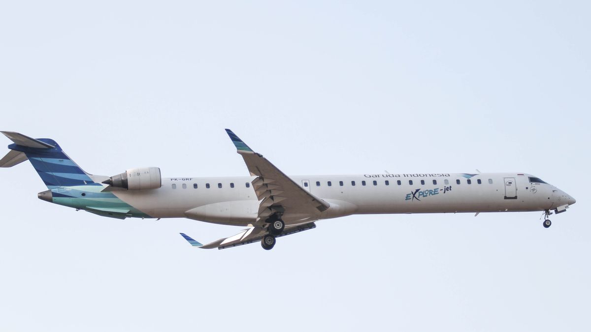
JAKARTA - The Indonesian Aviation Navigation Service Provider Agency (Perum LPPNPI) or better known as AirNav Indonesia will operate satellite-based domestic flight routes that can improve flight efficiency in Indonesian air space.
The Director of Operations for AirNav Indonesia, Mokhammad Khatim, explained that the implementation of satellite-based domestic routes or performance based navigation (PBN) is estimated to be able to provide aviation fuel combustion efficiency on aircraft up to IDR 10.5 billion per month.
"The domestic satellite-based route or performance based navigation (PBN) will connect four major airports in Indonesia, namely Soekarno-Hatta Airport, Jakarta, Juanda Airport, Surabaya, I Gusti Ngurah Rai Airport, Denpasar, and Sultan Hasanuddin Airport, Makassar," he said. Khatim in a statement received by VOI, Wednesday, January 29.
This route saves an average of 7 nautical miles on about 7,519 flights in one month. If the assumption is that 7 nautical miles can spend 25 liters of avtur for IDR 200 thousand per flight, it means that 7 nautical miles multiplied by 7,519 flights times IDR 200 thousand.
"As a result, we were able to provide the airlines with an efficiency of around Rp10.5 billion per month," said Khatim.
This route will officially operate on January 30, 2020 at 00.00 UTC or 07.00 WIB. "Previously we had invited national aviation stakeholders such as airlines, TNI and the Ministry of Transportation to socialize the implementation of this route on Tuesday, January 20. We will transform navigation services on the routes connecting the four airports from ground based to satellite based, "said Khatim.
He explained that the implementation of satellite-based routes on the route known as Tango I-VI would improve flight safety.
"For airlines, of course this route will be more comfortable, air space capacity will be optimized, this will have an impact on reducing aviation fuel use because the flights connecting the four airports are direct and more precise and of course this effort is also in line with the aviation industry's efforts to be more mobile. green, "he explained.
According to Khatim, the development of domestic routes is the mandate of the International Civil Aviation Organization (ICAO) Doc 9750 Global Air Navigation Plan (GANP) and Aviation System Block Upgrade (ASBU) with priority on block O 2013-2018.
"Aviation navigation services are directed to be seamless, meaning that with the current development of aviation technology, all aviation navigation service providers must be equal. In phase II, which we plan to launch on May 30, 2020, satellite-based domestic routes will also be implemented connecting Sumatra, Balikpapan, Kupang, Papua and several international routes, "he explained.
Khatim said that the implementation of this satellite-based route will also reduce conflicts that may occur with other domestic routes that intersect and have not used PBN.
"With the implementation of this PBN route, we do not immediately remove conventional routes. So both civil and military flights can use this PBN route or can still use conventional routes that have been around so far, "said Khatim.
The English, Chinese, Japanese, Arabic, and French versions are automatically generated by the AI. So there may still be inaccuracies in translating, please always see Indonesian as our main language. (system supported by DigitalSiber.id)


