

JAKARTA - The Meteorology, Climatology and Geophysics Agency (BMKG) stated that the tectonic earthquake with a magnitude of 5.4 in Southwest Mukomuko, Bengkulu on Saturday at 07.36 WIB had no potential for a tsunami.
"By paying attention to the location of the epicenter and the depth of the hypocenter, earthquakes that occur include shallow earthquakes due to subduction activity with an upward movement mechanism," said Head of the Earthquake and Tsunami Center of BMKG Rahmat Triyono as quoted by Antara , Saturday.
The epicenter of the earthquake is located at the coordinates of 3.25 south latitude and 100.30 east longitude, namely sea waters at a distance of 117 kilometers southwest of Mukomuko at a depth of 25 kilometers.
Earthquake shocks were felt in the Padang and Tua Pejat areas on the MMI III scale, that is, vibrations were felt realistically in the house as if a truck had passed by.
There has been no report on the impact of the damage caused and monitoring by BMKG until 08.10 WIB there have been no aftershocks.
"The public is advised to remain calm and not be affected by issues that cannot be justified. Ensure that official information only comes from the BMKG," said Rahmat.

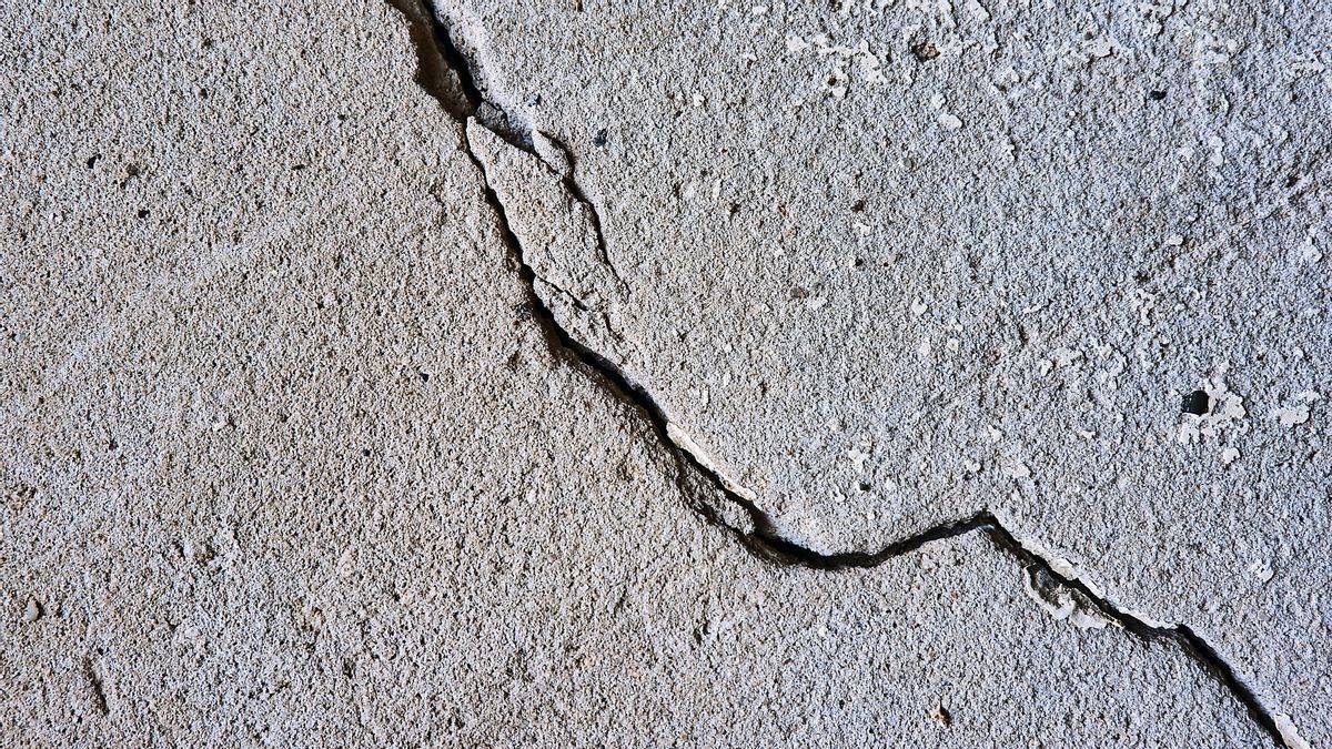
Rahmat also appealed to the public to avoid buildings that were cracked or damaged by the earthquake and to check and ensure that the residential buildings were earthquake resistant enough or there was no damage due to harmful vibrations before returning to the house.
The English, Chinese, Japanese, Arabic, and French versions are automatically generated by the AI. So there may still be inaccuracies in translating, please always see Indonesian as our main language. (system supported by DigitalSiber.id)


