

JAKARTA - The Agency for the Assessment and Application of Technology (BPPT) has reduced high rainfall in the Jabodetabek area. After the rain is reduced, it is hoped that the puddles that have soaked the Capital City can be immediately resolved. This reduction is done by operating the Weather Modification Technology (TMC).
The head of BPPT, Hamman Riza hopes, this TMC can reduce the intensity of rainfall in the Jakarta area and its surroundings. Because, according to him, high rainfall has become the main factor triggering the flooding that has occurred in recent days.
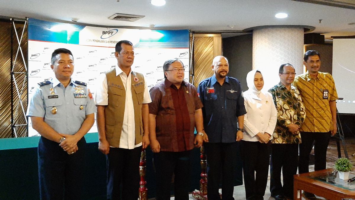
"Thus, the risk of widespread flooding in DKI Jakarta and its surroundings can be further suppressed," he said, during a press conference for TMC Operations, at the BPPT Office, Jalan MH Thamrin, Central Jakarta, Friday 3 December.

Hamman said, TMC is working to redistribute rainfall. Thus, the intensity of the rain that falls in the Jabodetabek area decreases. "This effort is carried out by dropping rain in safe areas such as the Sunda Strait and the Java Sea," he explained.
This TMC was carried out using one Cessna aircraft type CN295 and Casa each. The two planes had flown this morning. The results of this engineering must also be monitored continuously while paying attention to cloud growth using weather radar.
This TMC operation is in synergy with BPPT with several government agencies, namely the National Disaster Management Agency (BNPB), the Regional Disaster Management Agency (BPBD), the Meteorology, Climatology and Geophysics Agency (BMKG) and the Indonesian National Air Force (TNI-AU).
Meanwhile, to monitor Jabodetabek floods, the BPPT Weather Modification Technology Center since 2016 has developed a Jakarta flood Prototype Early Warning System (EWS) called the Radar-Rainfall Observation for Early System (R-RAINBOWS).
"R-RAINBOW is a rainfall observation and monitoring system using radar for the purposes of early warning of floods in the DKI Jakarta area and its surroundings, which is displayed through an interactive web-GIS," said Hamman.
The English, Chinese, Japanese, Arabic, and French versions are automatically generated by the AI. So there may still be inaccuracies in translating, please always see Indonesian as our main language. (system supported by DigitalSiber.id)
Most Popular Tags
#Prabowo Subianto #donald trump #2026 World Cup #Febrie Adriansyah #8791Popular


