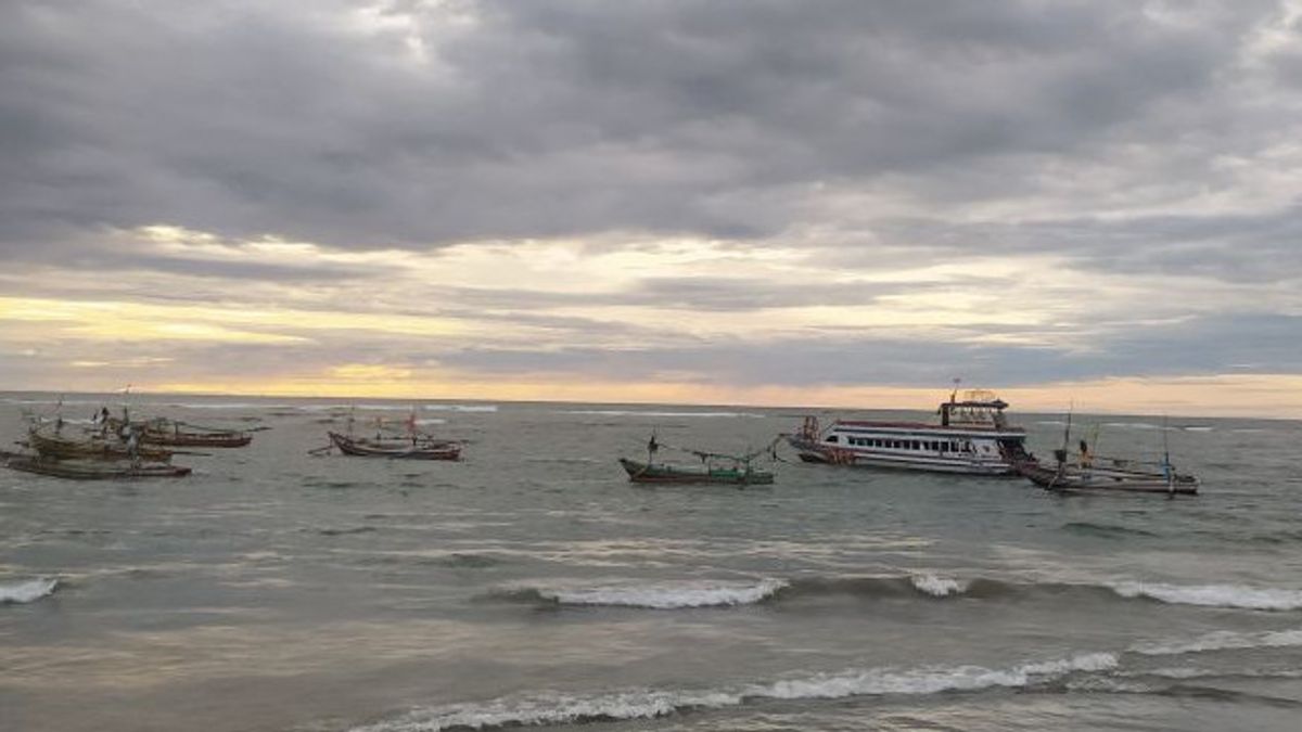


BENGKULU - The Bengkulu Meteorology, Climatology and Geophysics Agency (BMKG) said that the wave height in the province's waters could reach four meters. Head of Bengkulu BMKG Data and Information Anang Anwar said if the waves reached four meters high, they occurred in the waters of Enggano Island. high waves reaching 3.5 meters will occur in some areas of Bengkulu waters," said Anang in Bengkulu, Wednesday, December 22.
He explained that this was due to low pressure which caused the winds from the southwest region of Bengkulu to be attracted directly to low areas. Then the movement of the wind pattern from the northern region of the island of Sumatra to the southwest region of the Indian Ocean reached 30 knots or 60 kilometers per hour. , his party asked the public to be careful when visiting beach tourism in Bengkulu. As well as for people who are on the coast are asked to be careful and temporarily stop their activities in coastal waters. Meanwhile, Bengkulu Province is also expected to be hit by heavy rains accompanied by winds. There are three areas that are included in the disaster alert zone in Bengkulu Province, namely Rejang Lebong Regency, Lebong Regency and Kepahiang Regency. He said, while the other seven areas are Central Bengkulu Regency, Bengkulu City, North Bengkulu Regency. Kaur Regency, Seluma Regency, South Bengkulu Regency and Muko . Regency muko is in the disaster alert zone. This was reported by Antara.
The English, Chinese, Japanese, Arabic, and French versions are automatically generated by the AI. So there may still be inaccuracies in translating, please always see Indonesian as our main language. (system supported by DigitalSiber.id)


