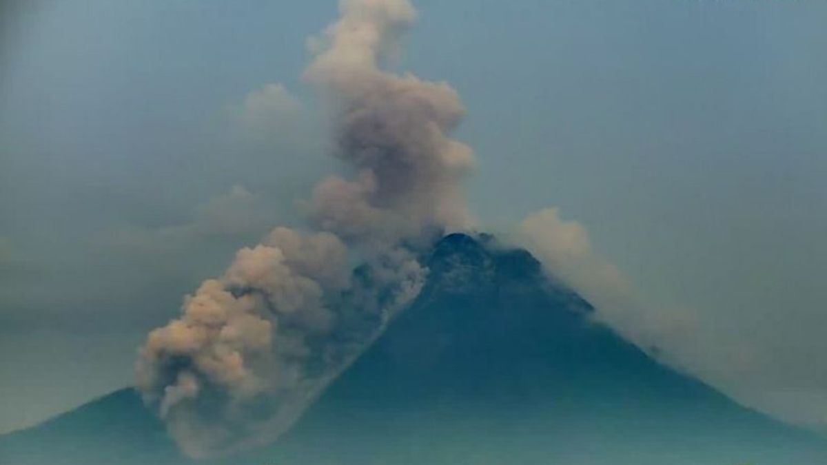


YOGYAKARTA - Mount Merapi on the border of the Special Region of Yogyakarta and Central Java launched hot clouds of avalanches as far as 2.2 kilometers towards Bebeng River.
"It was recorded on the seismogram with an amplitude of 21 mm and a duration of 174 seconds. The glide distance is 2,200 meters towards Bebeng River," said Head of the Geological Disaster Technology Research and Development Center (BPPTKG) Hanik Humaida in a statement quoted by Antara, Thursday, December 9.
Hanik said that when hot clouds came out of Merapi, the wind on the mountain blew eastward.
"Until now, there have been no reports of ash rain," he said.
Previously, he also appealed to people who are active in the river channel upstream of Merapi to be aware of the dangers of rain lava.
Based on BPPTKG data, the rain that fell on the peak of Mount Merapi on December 9 since 13.12 WIB was recorded as having a total rainfall of 29 mm.
Based on visual observations of the activity of Mount Merapi for the period November 26 - December 2 2021, BPPTKG noted a decrease in the height of the southwest lava dome of about 2 meters, while in the morphology of the central lava dome no significant changes were observed.
The volume of the southwest lava dome was recorded at 1,615,000 cubic meters and the central dome at 2,948,000 cubic meters.
BPPTKG currently maintains the status of Mount Merapi at Level III or Alert.
Residents are asked to be aware of the potential impact of lava flows and hot clouds of Mount Merapi in the south-southwest sector which includes the Yellow, Boyong, Bedog, Krasak, Bebeng, and Putih rivers.
If an eruption occurs, the ejection of volcanic material from Mount Merapi can reach an area within a radius of three kilometers from the top of the mountain.
The English, Chinese, Japanese, Arabic, and French versions are automatically generated by the AI. So there may still be inaccuracies in translating, please always see Indonesian as our main language. (system supported by DigitalSiber.id)


