

BOGOR - The Geospatial Information Agency (BIG) noted that at least 10 sub-districts in Bogor Regency, West Java have a high potential for disasters due to moving land.
There are several aspects that BIG considers in determining areas prone to landslides, such as the topography of the area.
"The assumption is that the steeper it is, the more prone it will be to landslides," said Head of Disaster Mapping and Climate Change BIG Ferrari Pinem in Cibinong, Antara, Tuesday, November 16.
A total of 10 to the sub-districts namely Sukajaya, Nanggung, Leuwiliang, Citeureup, Babakanmadang, Sukamakmur, Tamansari, Tenjolaya, Cijeruk, and Cigombong.
He said the level of vulnerability to moving soil is influenced by geological conditions and soil types. Areas with loose soil and geological material will easily cause the soil to move.
"Rain intensity is also an indicator of soil movement. High intensity will cause the soil to become saturated with water, and of course it will increase the volume of the soil load so that it will be more prone to soil movement," he said.
He said that some areas that are classified as prone to moving soil will be prone to landslides if the location is on a high slope level.
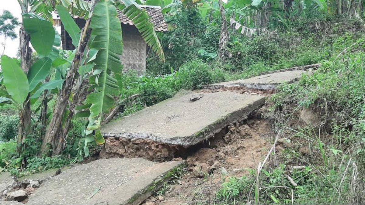
Previously, the Regency Government (Pemkab) of Bogor, West Java recorded that there were 57 families consisting of 198 people affected by the movable land disaster in the Sukamakmur area last Thursday.
"So far, there are four houses that have been severely affected. While 53 other houses are in a threatened position," said Deputy Regent of Bogor Iwan Setiawan after visiting the scene in Sukamakmur, Bogor.
The English, Chinese, Japanese, Arabic, and French versions are automatically generated by the AI. So there may still be inaccuracies in translating, please always see Indonesian as our main language. (system supported by DigitalSiber.id)
Most Popular Tags
#Prabowo Subianto #donald trump #Febrie Adriansyah #8791 #giias 2026Popular


