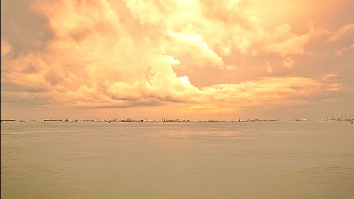


JAKARTA - If there is a country that intersects the Indonesian nation the most today, it is China. The escalation of territorial disputes in the Natuna Sea, Riau Islands raises the tension of the Indonesian people towards China when fishing boats with red-star flags routinely steal fish escorted by their coast guard vessels. Worse, China is reluctant to recognize the Natuna exclusive economic zone (EEZ) as part of the South China Sea region.
The actions of Chinese fishermen and their official government authorities have been intensively monitored from 19 to 24 December 2019. In fact, the International Court of Justice through the United Nations Convention of the Law of the Sea (UNCLOS) has determined that China's "Nine Dash Line", which has existed since 1947, does not have a strong historical basis.
Based on the 1982 UNCLOS, Indonesia's foreign policy stance was firm. The government rejects EEZ claims in the Natuna Sea and South China Sea areas. In addition, the decisions of the United Nations (UN) arbitral tribunal regarding the claims of countries in the South China Sea also strengthen Indonesia's adherence to territorial and national maritime sovereignty.
DPR RI Commission I member Charles Honoris also touched on the rawness of China's historical claims. "China's historical claim to Indonesia's EEZ on the grounds that Chinese fishermen have been active in Natuna for a long time is not recognized by UNCLOS and has also been countered by the Permanent Court of Arbitration decision in 2016," he explained.
President Joko Widodo (Jokowi) is also encouraged to take a firm stance so that China respects international norms and laws that have been agreed upon by the nations of the world. Regarding whether the historical claims expressed by China are appropriate or not, it certainly takes a longer time to conclude. However, we can give you a brief overview.

Enchanted for a long time
The Natuna area has long been a 'sexy' area in the world. Natural resources and their strategic location along the trade route are very attractive. The French King Charles X was no exception. Just before his fall, he commissioned Cyrrille Pierre Theodore Laplace - a veteran of the French Royal Navy who had matured on various battlefields - to carry out a maritime expedition.
The incident was recorded by Bernard Dorleans in Indonesian and French from the XVI Century to the XX Century. "This new maritime expedition has two missions, namely an official mission concerning hydrographic inspection to perfect the Southeast Asian atlas and a more official mission, namely a secret political economy mission to mark strategic areas to build a network of French logistics bases in the South China Sea," added.
The expedition with the La Favorite ship sailed eastward to China. During the voyage, the ship berthed in transit in Manila and Macao. On his return voyage, Theodore Laplace resumed his voyage to the south, South China Sea to explore Indochina. "Based on instructions from France, Laplace took a mission to find Natuna Island in the west of Borneo, a land that has never been explored by Europeans," wrote Dorleans.
The moment when the French fleet actually touched the Natuna region is known from the diaries of Theodore Laplace, Voyage Autour du Monde par les Mers de L'Indie et de Chine Execute sur la Corvette de l'Etat La Favorite Pendant Les Annees 1830, 1831 et 1832. The note reads:
On the 12th (March 1831, ed.), At dawn, this part of the archipelago (Natuna) which is generally marked with the North Natuna, appears in our observations. The main island of the archipelago is called Pulau Laut by the local population, and is no more than 8 miles in length from the northeast as the northern end to the southwest as the southern end.
The expedition made a deep impression on them. Leaning on the Natuna mainland introduces them to the friendliness of the people and the skills of the Malay people with distinctive knowledge. Quoting Natunakab.co.id, Bungaran Island, which is one of the Natuna administrative areas, was the busiest area at that time.

The Bungaran mainland is a stopover for ships that are about to dock at Sriwijaya from the South China Sea. From the beginning of the 13th century this route was in full use. A number of trading activities are also quite developed there.
This is evidenced by the thousands of ceramic findings from China, Vietnam, Thailand and Europe as well as several other findings. It is not surprising that many people came to Bunguran Island, including the Dutch government.
So, it is only natural that a country like China is currently making historical claims for the Natuna Exclusive Economic Zone (EEZ). However, the decision is clear, international law in UNCLOS 1982 and the decision of the United Nations arbitration court regarding the claims of countries in the South China Sea that sovereign Indonesia as the owner of the EEZ in Natuna waters.
The English, Chinese, Japanese, Arabic, and French versions are automatically generated by the AI. So there may still be inaccuracies in translating, please always see Indonesian as our main language. (system supported by DigitalSiber.id)


