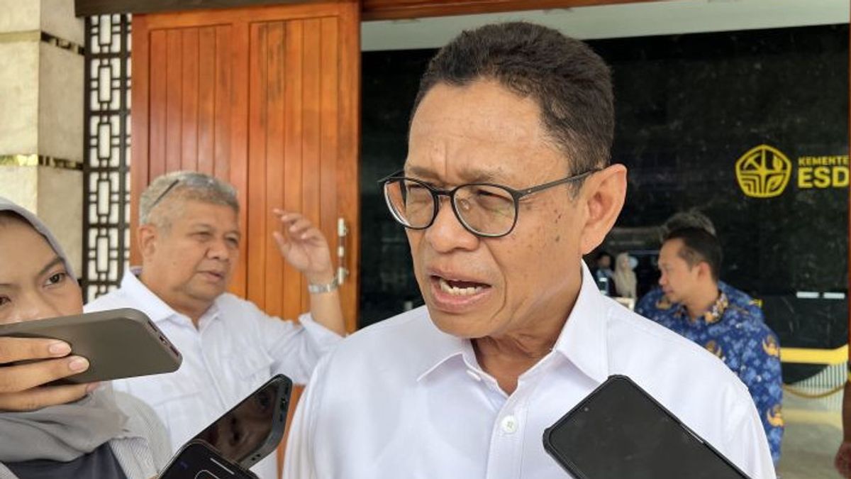


JAKARTA - Deputy Minister of Energy and Mineral Resources (ESDM) Yuliot Tanjung said the location of the gold mine, which is said to be the cause of the flash flood disaster on the island of Sumatra, is far from the disaster site.
"He said the working area was far away," said Yuliot as quoted by ANTARA, Monday, December 1.
Minister of Energy and Mineral Resources Bahlil Lahadalia, said Yuliot, will plunge into three provinces affected by floods and landslides to check various problems, such as the availability of energy in areas affected by flash floods and landslides, as well as mining locations that are thought to be the cause of the flash flood disaster.
"This is checked in the field, tomorrow the Minister will see from above. Tomorrow (Tuesday)," said Yuliot.
The Coordinator of the Melky Nahar Mining Advocacy Network (Jatam) assesses that Sumatra has been treated as a sacrificial zone for mineral and coal mining (minerba).
There are at least 1,907 active mineral and coal mining business permit areas with a total area of 2,458,469.09 hectares.
"At the forest level, the Forest Area Use Approval (PPKH) scheme is the main door for the release of the protected function into an extraction room," he said.
On the island of Sumatra, there are currently at least 271 PPKH with a total area of 53,769.48 hectares.
Of these, 66 permits are allocated for mines with an area of 38,206.46 hectares, 11 permits for geothermal with an area of 436.92 hectares, 51 permits for oil and gas covering an area of 4,823.87 hectares, 72 permits for other energy projects with an area of 3,758.68 hectares, while the rest is given for telecommunications, government, and various other purposes.
PT Agincourt Resources (PTAR), the manager of the Martabe gold mine in the span of the Batang Toru Ecosystem, including one of the PPKH holders, "he said.
With the land opening currently estimated to have reached around 570.36 hectares inside the forest area, it describes the scale of direct intervention in the main buffers of watersheds in the area.
SEE ALSO:
-
 | EKONOMI
Pulihkan Pasokan BBM Aceh, BPH Migas Manfaatkan Drum hingga Alih Suplai
01 Desember 2025, 16:25


SEE ALSO:
-
| EKONOMI
Pulihkan Pasokan BBM Aceh, BPH Migas Manfaatkan Drum hingga Alih Suplai
01 Desember 2025, 16:25
Responding to accusations as the cause of the disaster, PTAR needs to straighten out information that the location of flash floods in Garoga Village is in the Garoga/Aek Ngadol Watershed (DAS), which is different and is not connected to the Aek Pahu watershed, where PTAR operates.
"Our monitoring also does not find wood material in the Aek Pahu watershed which can be linked to findings in flood areas. PTAR fully supports the comprehensive study conducted by the government on all factors causing this disaster and is ready to cooperate transparently," said Senior Manager of Corporate Communications of PTAR Katarina Siburian Hardono.
The English, Chinese, Japanese, Arabic, and French versions are automatically generated by the AI. So there may still be inaccuracies in translating, please always see Indonesian as our main language. (system supported by DigitalSiber.id)


