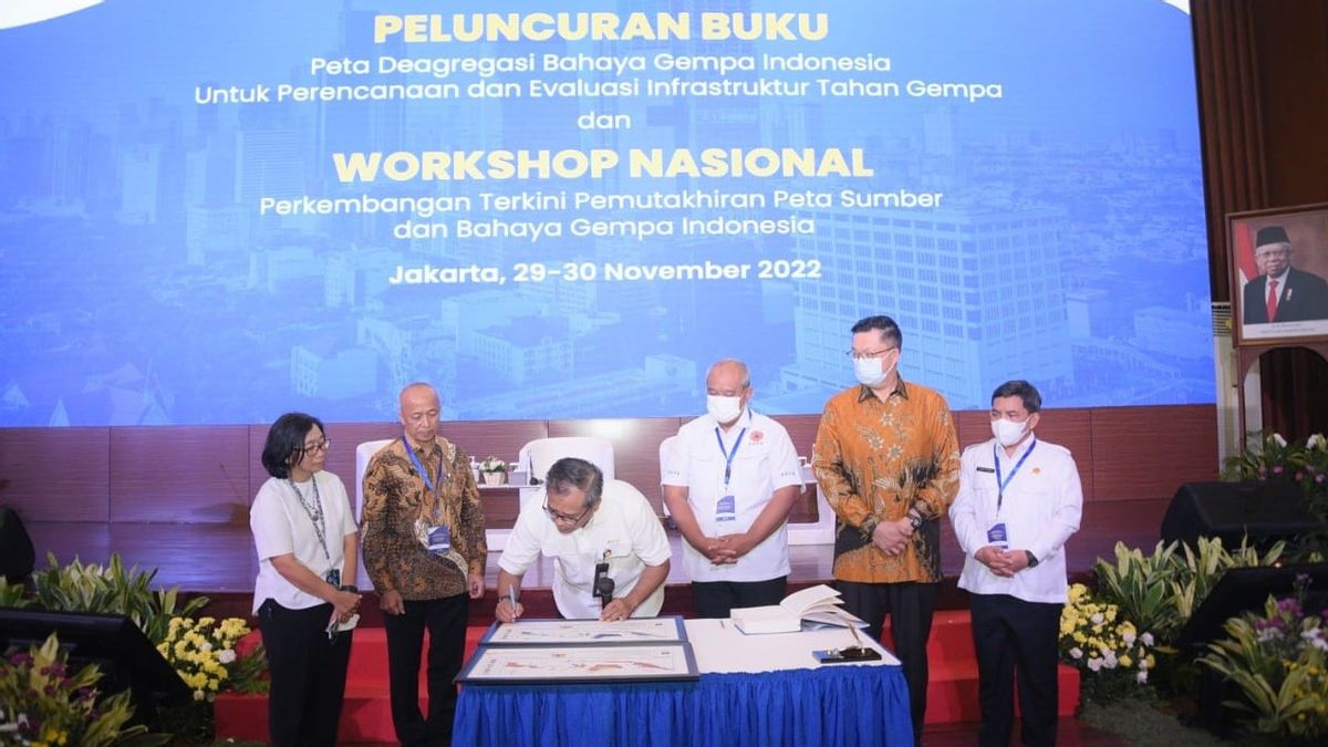


JAKARTA - The Ministry of Public Works and Public Housing (PUPR) launched the book Map of Indonesian Earthquake Hazards for Earthquake-Resistant Planning and Evaluation of Earthquake-Resistant Infrastructure at the Auditorium of the Ministry of PUPR, Jakarta. The hope is that this deaggregation map can be used by the wider community, especially in infrastructure planning to mitigate earthquake hazards and evaluate building structures or infrastructure in accordance with potential disasters that occur in various regions in Indonesia.. This book is equipped with standards, technical guidelines as well as providing confidence in infrastructure planning or buildings that prioritize safety and security.
On the same occasion, M Asrufak, who is one of the compiling teams, said that the map of the negotiations launched could be used for all of Indonesia and all buildings.
"That's why in the preparation of the Ministry of Transportation's involvement in infrastructure, the Ministry of Energy and Mineral Resources is related to offshore buildings," he said. This map can be used in building planning properly in accordance with earthquake potential in various regions and evaluating other buildings such as for example monumental buildings.
The making of this book is also based on Indonesia's geographical location, including on the Pacific Ring of Fire (citivic ring) so that the potential for earthquakes can not be avoided.
Related to this, efforts are needed to reduce the risk of earthquake hazard by strengthening earthquake-resistant infrastructure. In the future, this deaggregation map will be launched on the PUPR Ministry website and can be accessed by the wider community for free.
The English, Chinese, Japanese, Arabic, and French versions are automatically generated by the AI. So there may still be inaccuracies in translating, please always see Indonesian as our main language. (system supported by DigitalSiber.id)


