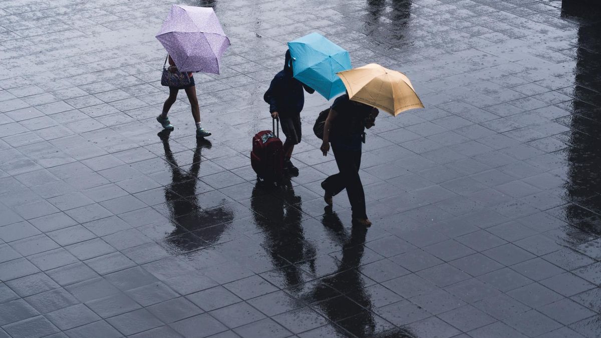


JAKARTA - Heavy rain, hail and strong winds hit Depok. The billboard collapsed. Fallen tree. Train traffic stopped. Inside the carriage, the passengers sat on their backs while cursing the extreme weather through their Instagram Stories. The weather is feverish, that's how the Meteorology, Climatology and Geophysics Agency (BMKG) pictured when we called. Many things are explained, including that this is normal but still needs to be watched out for.
"Finally got off the train," wrote Puspita Indah confirming the chaos that occurred in the Jakarta-Bogor commuter line car that she was riding. When contacted by VOI via text message, Tuesday, around 20.00 WIB, Pita was at Pasar Minggu Station. Not long after, PT KCI wrote on its official Twitter account.
A number of commuter line trips to Bogor had to be cancelled. PT KCI reported a fallen tree on line 1 of Depok Station as a result of heavy rains and strong winds. The fallen tree caused a number of problems, including "there was an improvement in Top-Flow Electricity as a result of the evacuation process for a fallen tree at Depok Station.
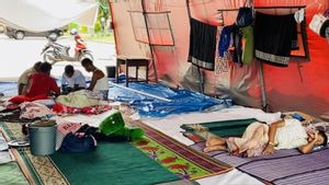
In addition to uprooting a number of trees -- including those that resulted in the stoppage of commuter line trips, heavy rain and strong winds also caused damage to a number of buildings, collapsed billboards, and the Hermina Hospital signboard flew off. Another report stated that the Depok KPUD office was damaged. The ceiling of SMAN 3 Depok also collapsed.
Heavy rain and strong winds also affected 622 PLN substations. As a result, a number of areas in Depok City experienced power outages. A number of speculations developed following the extreme weather in Depok. "Storm," wrote many on social media. Others further attribute this to the context of climate change. What actually happened?
What happened in Depok?"What is clear is that it's not a hurricane, sir. Indonesia has never had a hurricane because we are at the equator. In Indonesia, strong winds, cyclones or hail are common. Yesterday, it was a strong wind. A tornado is like a strong wind but it shaped like an elephant's trunk," said Head of the BMKG Public Relations Subdivision Dwi Rini Endra Sari to VOI, Wednesday, September 22.
So, heavy rain, hail, and strong winds in Depok yesterday were forms of extreme weather. The three elements of extreme weather, especially hail are generally produced by cumulonimbus (CB) clouds. Like other clouds, CB clouds form through evaporation. However, when a CB cloud is formed, it means that the intensity of evaporation is higher: convectiveness.
"But the most extreme is hail. Strong winds and heavy rain are not always CB. But it can happen during the transition period, with atmospheric dynamics that occur," said Ririn - Dwi Rini's popular greeting.
During the transition period, the weather experiences what is called atmospheric dynamics. Atmospheric dynamics are divided into local, regional, and global scales. What happened in Depok yesterday was a combination of unstable local and regional-scale atmospheric dynamics at high evaporation rates or convectiveness that contributed to the formation of rain clouds or CBs.

"So during the day it was scorching hot so that it formed convective clouds (CB) arising from the evaporation. Because it was very hot during the day, these convective clouds formed until late afternoon. Now this is what causes extreme weather."
"CB clouds are towering clouds, the temperature of which is sometimes minus. So this CB cloud when it experiences a minus temperature, it usually occurs in extreme weather as happened in Depok and surrounding Bogor yesterday," Ririn.
Regarding the dynamics of the atmosphere during the transition period, Ririn made an analogy with a fever in the human body. "Because the transition period is a transition. In layman's language, the rainy season is sometimes cold, there is evaporation. During the dry season, there is no evaporation. So the dynamics of the atmosphere are shaking."
"So it's like the body adjusts. For example, let's say the body is hot, the body temperature is hot, for example, we have a cold or flu, then we get cold water, our bodies must adjust, there is a feeling of chills, fever, greges... Likewise the weather conditions . So adjustment. So the dynamics of this atmosphere is very complex."
Anything else to know about extreme weather?
Depok, yesterday and the next few days are still in the transition period. Like Jakarta, Depok will reach the rainy season in October. So, the potential for extreme weather is still very high. That is, vigilance is needed, although there is no need to panic.
"This transition period has characteristics, typical weather patterns, where local convective patterns indicate the potential for rain cloud growth and are supported by other factors, weather parameter factors. That is what triggers extreme weather."
"And usually in the transition or transition period, cumulonimbus clouds usually arise. Tall clouds in the form of cauliflower. That can result in something like yesterday, such as strong winds, hail, or tornadoes. Now the potential for CB clouds is very large because of the heating energy in noon," Ririn, Head of Public Relations of BMKG.
There are several characteristics that we need to recognize to predict the potential for extreme weather around us. First, when the day is so hot and then in the afternoon the sky suddenly darkens and there are clouds towering like cauliflower (CB clouds), meaning we have to be vigilant. When the feature is followed by rain or wind, avoid shelter under trees as much as possible.

Or if you are driving, we should park the vehicle first in a safe place, including staying away from high-rise constructions, for example. Don't worry, heavy rain and strong winds or even hail usually don't last long. "So that's the feature. But the time is not long. Like yesterday, it wasn't long, right?"
Ririn further explained that the rainy season would come earlier, he said. 14.6 percent of Indonesia's territory has experienced the rainy season in September 2021. That is equivalent to 342 seasonal zones in Indonesia. In October, an estimated 39.1 percent of other regions followed. "Including the southern part of Sumatra, most of Kalimantan, Sulawesi, Java, Bali."
*Read other information about NUSANTARA or read other interesting articles from Yudhistira Mahabharata.
Other BERNASThe English, Chinese, Japanese, Arabic, and French versions are automatically generated by the AI. So there may still be inaccuracies in translating, please always see Indonesian as our main language. (system supported by DigitalSiber.id)


Related News