

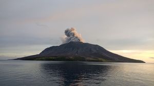
JAKARTA - The Meteorology, Climatology and Geophysics Agency (BMKG) monitors the results of observations of sea level at the Tide Gauge Tehoru station showing a sea level rise of 0.5 m after the 6.1 magnitude earthquake on Seram Island, Maluku.
"The tsunami modeling results with sources of the tectonic earthquake shows that the earthquake does not have the potential for a tsunami, but based on observations of sea level at the Tide Gauge Tehoru station, it shows a sea level rise of 0.5 m. This is thought to be the result of an underwater landslide", said the Head of the Earthquake and Earthquake Center. Tsunami BMKG Bambang Setiyo Prayitno in his statement received in Jakarta, reported by Antara, Wednesday, June 16.
With the rise in sea levels, BMKG recommends to the public, especially in areas along the Japutih Coast to Atiahu Beach, Central Maluku Regency, Seram Island, Maluku to be vigilant aftershocks and potential tsunami due to landslides into/under the sea.
"It is advised to immediately away from the coast towards t four high if you feel the earthquake shock is strong enough. BMKG continues to monitor the aftershocks that occur and their impact on sea level rise", he said.
SEE ALSO:


The tectonic earthquake that occurred at 11.43.08 was updated to a magnitude of 6.0 with the epicenter located at coordinates 3.42 South Latitude, 129.57 East Longitude or precisely located at sea at a distance of 69 km southeast of Masohi City, Central Maluku Regency, Maluku on a depth of 19 km.
Based on BMKG monitoring until 13:35 p.m. local time, there have been 13 aftershocks with the largest magnitude of 3.5.
Bambang explained that by observing the location of the epicenter and the depth of the hypocenter, the earthquake that occurred was a shallow earthquake caused by local fault activity. The results of the analysis of the source mechanism show that the earthquake has a normal fault movement mechanism.
The earthquake has an impact on the shocks felt in Tehoru, Masohi, Bula, Kairatu, Saparua, OH on a scale of III MMI trucks passed). On the island of Ambon, the shaking was felt on an MMI II-III scale (vibrations were felt by several people, light objects that were hung swayed).
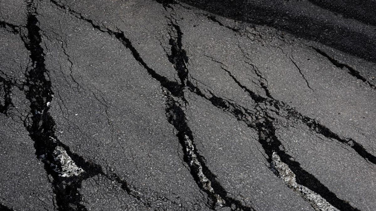
Until now, Regional Disaster Management Agency (BPBD) and the local community have reported damage to several houses, one of which is the church fence in Sounulu village, Tehoru district as a result of the earthquake.
The English, Chinese, Japanese, Arabic, and French versions are automatically generated by the AI. So there may still be inaccuracies in translating, please always see Indonesian as our main language. (system supported by DigitalSiber.id)


Related News