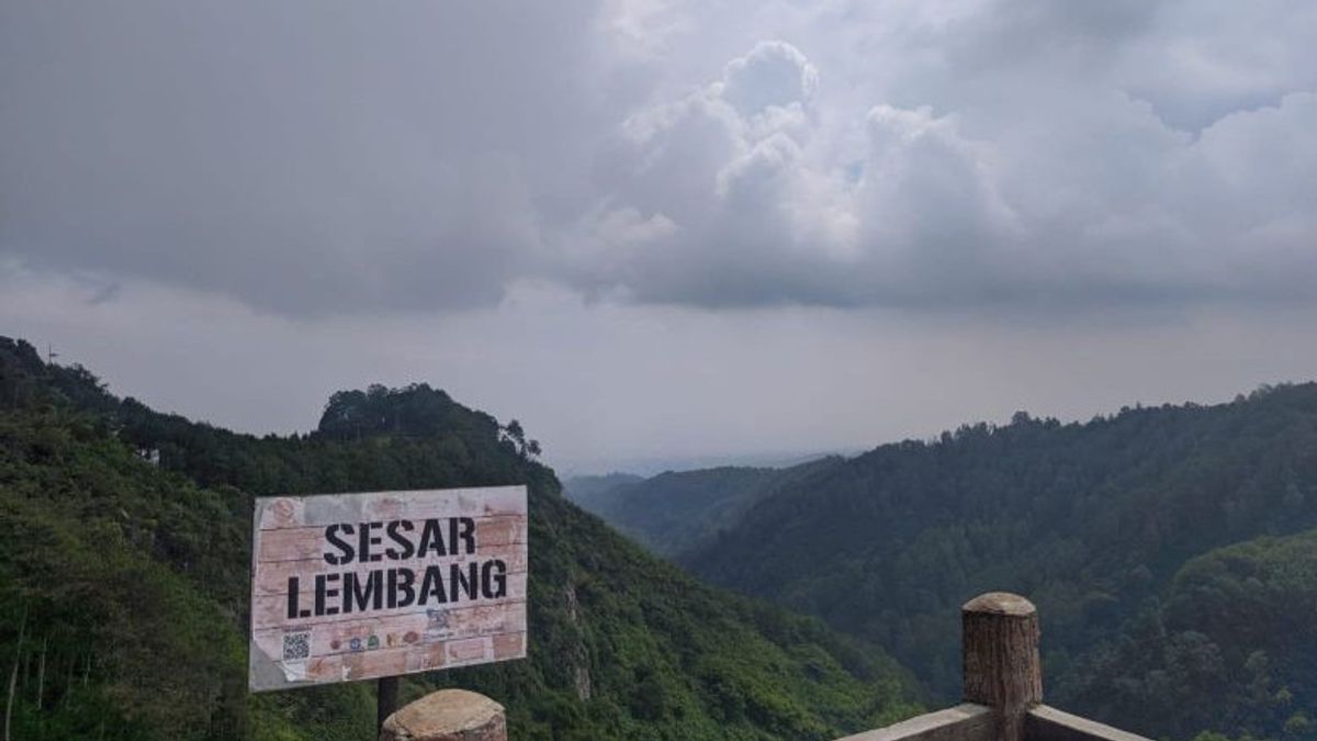


BANDUNG - The Lembang fault, which stretches about 29 kilometers north of Bandung City, is not a single fault line with a homogeneous risk.
As reported by ANTAR, Thursday, February 26, the latest investigation by the Geological Agency of the Ministry of Energy and Mineral Resources (ESDM) revealed that this fault is divided into three segments with different geological characteristics, activities, and earthquake potential, thus requiring specific and measurable mitigation strategies.
Sukahar Eka Adi Saputra, Geological Agency Sub-Expert Earth Researcher, explained that each segmentation has a close relationship with the volcanic system in Bandung.
"Overall, the Lembang Fault is an active fault with a clear segmentation and has a close relationship with the volcanic system in the Bandung area," he said.
He also said the dominant direction of stress stretched from northeast to southwest and the maximum earthquake potential was estimated to reach a magnitude of 6.5 to 7 if all segments moved simultaneously.
Based on paleoseismology (a branch of geology that studies ancient earthquakes), the shear rate of the fault ranges from 1.95 to 3.45 millimeters per year, with a recurrence period of 170 to 670 years.
"There are indications that a major earthquake occurred in the 15th century," said Sukahar.
This data confirms the need for mitigation that is tailored to the characteristics of each segment, not a single approach.
West segment and significant offset
The western segment, stretching from the Cimeta River to Ngamprah and Cibaligo, shows a pattern of hardness in the lava, lava-breccia contact, and hot spring manifestations.
Hidayat, a young Earth researcher from the Geological Agency, said the western cross section was consistent with the distribution of micro-earthquakes, which showed variations in the character of the still active structures.
"From the western cross-section, the off-set is clear and consistent with the distribution of micro-earthquakes. This shows variations in the character of structures that are still geologically active," he explained.
Researchers used a Ground Penetrating Radar (GPR) tool to see the layers of soil below the surface and the scan results found layers that appeared to be shifted or misaligned (offset)
In addition, the processed magnetic survey shows that the northern part of the fault has low magnetic anomalies, which indicates the difference in rock conditions in the region.
First Horizontal Derivative (FHD) and Second Vertical Derivative (SVD) analysis are used to see the direction and pattern of rock structures below the ground surface so as to help researchers know where the fault line or crack extends.
Meanwhile, the 3D Euler Deconvolution method is used to estimate how deep the source of the anomaly is, for example the depth of a fault or the boundary of a rock difference underground.
The results of the gravity survey showed Bouguer offset anomalies, a movement pattern similar to the Cimandiri Fault segment of the Rajamandala, and high density anomalies consistent with the existence of a subsurface fault.
"The western segment has a relatively stable character on the surface but is clearly active underground," Hidayat added.
Middle Segment: Upright and still active
The middle segment, from Maribaya to Gunung Batu, has relatively upright reflectors up to a depth of 2,000 meters and the GPR Survey found offsets that indicate young fault activity.
"Although upright, the middle segment is still active. Geophysical surveys show a reflector cut by a fault, an indication of relatively young activity," said Hidayat.
This upright character is different from the more offset west, so even though the surface looks stable, the potential for earthquake energy release still exists, demanding special attention in infrastructure development.
The eastern segment is still young.
The eastern segment, covering Mount Batu to the Keraton Cliff, shows fault scarp (a steep cliff or slope formed by fault slip), the Cikapundung River slip, and a fault mirror.
"The eastern segment shows evidence of relatively young faults, including fault mirrors, indicating a history of significant activity," he added.
This region is influenced by the volcanic activity of Mount Sunda Purba, Mount Tangkuban Parahu, and Mount Burangrang.
Volcanic activity plays a role in the formation and reactivation of the eastern segment, adding to the complexity of local earthquake risk.
The segmentation of the west, central, and east helps to formulate precision risk zoning, such as vital buildings that should be kept away from fault lines, while areas with high shaking must implement earthquake-resistant construction standards.
Hidayat added that shallow and deep geophysical surveys allow for the mapping of fault geometry and seismic activity in depth.
"The integration of all methods shows that the Lembang Fault has a character variation from west to east and still shows indications of activity based on the obtained geophysical data," he said.
History of Damaging Earthquakes
Meanwhile, Supartoyo, the Earth Utama Investigator of the Geological Agency, emphasized the importance of data-based mitigation to prevent damage from earthquakes.
"From 2000 to 2025, the number of damaging earthquakes ranged from five to 41 per year, with the highest in 2025. In 2026, six damaging earthquakes were recorded," he explained.
He explained that the 2006 Yogyakarta earthquake caused losses of Rp29.2 trillion, Aceh 2004 around Rp13.4 trillion, Palu 2018 Rp8.5 trillion, and Cianjur 2022 Rp4 trillion or in other words, this value is almost equivalent to the Provincial or City of Bandung's APBD.
The Geological Agency emphasizes that potentially damaging earthquakes generally have an intensity of IV-V MMI, while the 2022 Cianjur earthquake with a magnitude of 5.6 reached VIII MMI.
"The impact will be greater if the building is not earthquake resistant," added Supartoyo.
Three-dimensional earthquake hazard
Supartoyo explained that the dangers of earthquakes are divided into three: surface shocks, surface faults, and accompanying dangers such as land subsidence and liquefaction, such as the 2018 Palu earthquake caused a surface shift of up to 580 cm, including one of the largest in the world.
Mitigation itself must be carried out in accordance with Law Number 24 of 2007 concerning Disaster Management, through structural and non-structural approaches.
"Earthquakes cannot be prevented, but the risk can be suppressed if preparedness and construction standards are applied consistently," he said.
Targeted mitigation strategies
"The Lembang fault is a complex system with three different segment characters and Sukahar emphasized that each segment has its own character.
Understanding the concept is the key to effective mitigation, not just looking at the magnitude numbers.
Supartoyo explained that with the segmentation of the fault, the parties concerned have a sharper risk map to protect Bandung Raya.
Preparedness and implementation of building standards must be consistent so that the risk of human casualties and economic losses can be minimized.
Segmentation analysis, integration of geophysical data, and local geological understanding are the basis of a targeted mitigation strategy.
The English, Chinese, Japanese, Arabic, and French versions are automatically generated by the AI. So there may still be inaccuracies in translating, please always see Indonesian as our main language. (system supported by DigitalSiber.id)


