

JAKARTA - The Ministry of Forestry (Kemenhut) has mapped areas prone to forest and land fires (karhutla) through historical fire incidents, especially in Sumatra and Kalimantan.
Director of Forest Fire Control of the Directorate General of Law Enforcement (Gakkum) of the Ministry of Home Affairs, Thomas Nifinluri, said that the Ministry of Home Affairs routinely maps areas prone to forest fires through historical analysis, land cover conditions, land types, and climate predictions and drought indices.
"Priority areas for mitigation and preparedness are generally in provinces that have extensive peat characteristics with historical data of high fire incidence, especially in Sumatra and Kalimantan," explained Thomas as quoted by ANTARA, Monday, February 9.
Several areas of special concern, including in Riau, Jambi, South Sumatra, West Kalimantan, Central Kalimantan, South Kalimantan, East Kalimantan and Papua, especially South Papua.
He said that a number of mitigation steps were also taken by the government, including the Ministry of Finance, to suppress karhutla, ranging from cross-sectoral coordination carried out by the Ministry of Finance with the National Disaster Management Agency (BNPB), the Meteorology, Climatology and Geophysics Agency (BMKG), regional governments, TNI/Polri and permit holders.
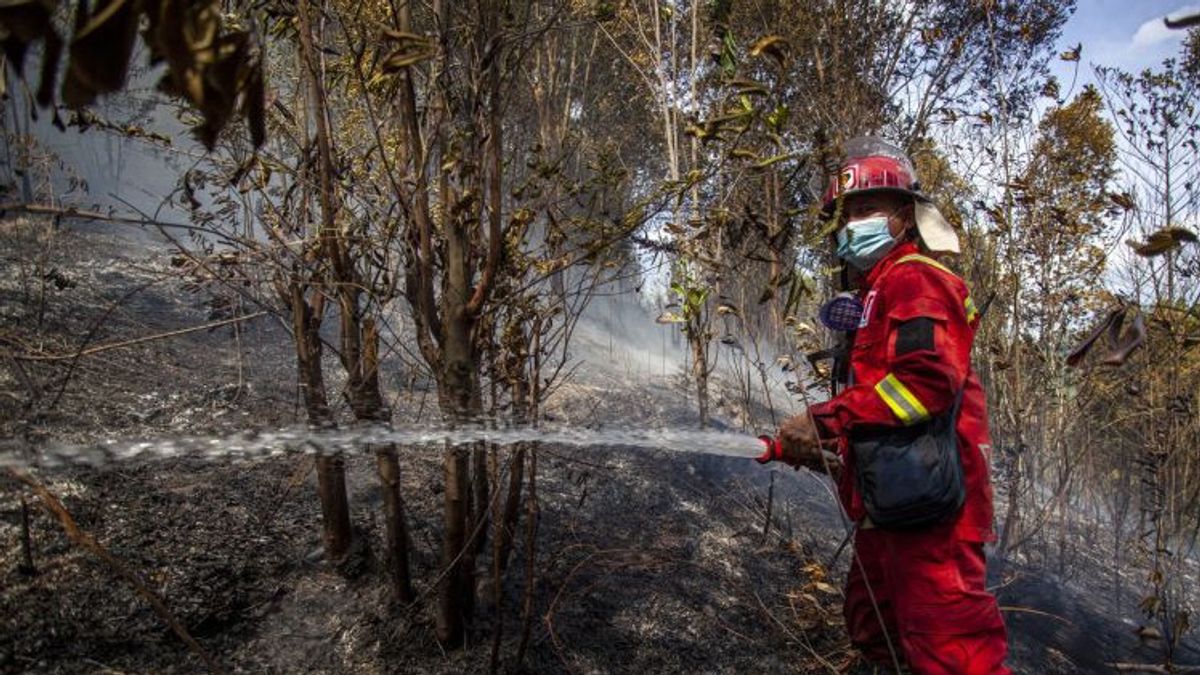
Patrols in areas prone to forest fires were also increased, as well as the readiness of the Manggala Agni Daops, including the readiness of personnel, equipment and logistics.
Throughout January 2026, 225 forest fire operations with an area of approximately 600 hectares were successfully controlled.
In addition, the Ministry of Social Affairs has also continued to strengthen the role of the Fire Care Community (MPA) as the spearhead of prevention at the grassroots level, including through training, provision of infrastructure, and socialization of land opening without burning.
According to data indicating the extent of forest fires in the SiPongi system owned by the Ministry of Finance, the extent of forest fires in 2025 is 359,619.42 hectares. This number shows a decrease compared to 376,805.05 hectares in 2024 and 1,161,192.90 hectares in 2023.
The English, Chinese, Japanese, Arabic, and French versions are automatically generated by the AI. So there may still be inaccuracies in translating, please always see Indonesian as our main language. (system supported by DigitalSiber.id)