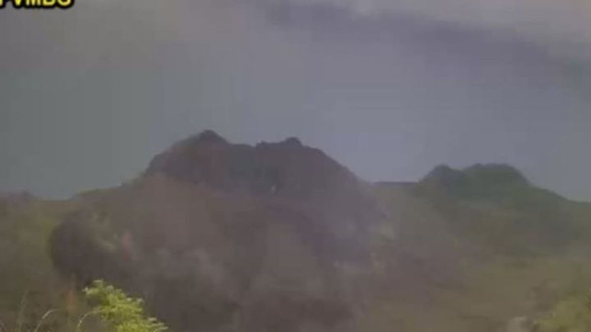


JAKARTA - Mount Ile Werung, which is located in Lembata Regency, East Nusa Tenggara (NTT) Province, has increased its status from Level I (normal) to Level II (Alert).
Mount Ile Observer Officer Werung Wilson Wutun said the status increase occurred after reports emerged regarding the increase in seismic status in the regions from 1 to 28 November 2025.
"Monitoring the seismicity of Mount Ile Werung shows an increase in the seismicity of Deep Volcanics, namely on January 1, 2025, 21 incidents were recorded, September 6, 2025, 11 incidents were recorded and September 14, 2025, 47 incidents were recorded," he said when contacted from Kupang, Tuesday, was confiscated by Antara.
He added that after an earthquake occurred on November 29, the internal volcanic earthquake was recorded significantly again, namely 23 times.
This indicates an increase in pressure within Mount Ile Werung due to increased magma activity or magma migration from deep depth to shallow depth.
He added that based on seismic data from November 1 - 28, 2025, there were 7 Vulcanic Dalam Earthquakes, 27 Local Tectonic Earthquakes, 18 Earthquakes Were Felt, and 108 Long Tectonic Earthquakes.
On November 29, 2025, 19 times the Deep Volcanic Earthquake (VA), 6 times the Local Tectonic Earthquake (TL), 1 time the Earthquake was felt and 4 times the Remote Tectonic Earthquake.
Meanwhile, on November 30, 2025 at 00.00 - 11.00 WITA, there were 4 times the Deep Volcanic Earthquake and 1 time the Local Tectonic Earthquake.
SEE ALSO:
-
 | BERITA
10 Pemukim Israel Bertopeng Aniaya 4 Aktivis Pro Palestina Warga Italia-Kanada di Tepi Barat
01 Desember 2025, 14:51 -
 | BERITA
Pramono Prioritaskan PNS DKI Naik Jadi Pejabat Pemprov, Sindir Sekda Sebelumnya?
01 Desember 2025, 17:02

Wilson further said that the development of Mount Ile Werung's activity will continue to be monitored. The number of Local Tectonic Earthquakes, felt Earthquakes and Remote Tectonics recorded needs to be watched out for.
This is because the increasing regional tectonic activity is feared to affect the activities of Mount Ile Werung.
The potential danger of the eruption of Mount Ile Werung is in the form of explosive eruptions with threats in the form of hot clouds, lava flows, stone ejections (lights), toxic gas in peak areas.
However, there is still a potential hazard to watch out for in the form of lava flows and avalanches of underwater materials, especially around the Mount Hobal area and mountains. Wetitar.
"The impact that can be caused by volcanic activity can be in the form of increasing sea level around the area," he said.
Ile Werung Volcano is a strato-type volcano with a peak height of 1486 m above sea level (dpl) and is located at coordinates 08o 32 24 LS and 123o 3524 BT.
The English, Chinese, Japanese, Arabic, and French versions are automatically generated by the AI. So there may still be inaccuracies in translating, please always see Indonesian as our main language. (system supported by DigitalSiber.id)
Popular


