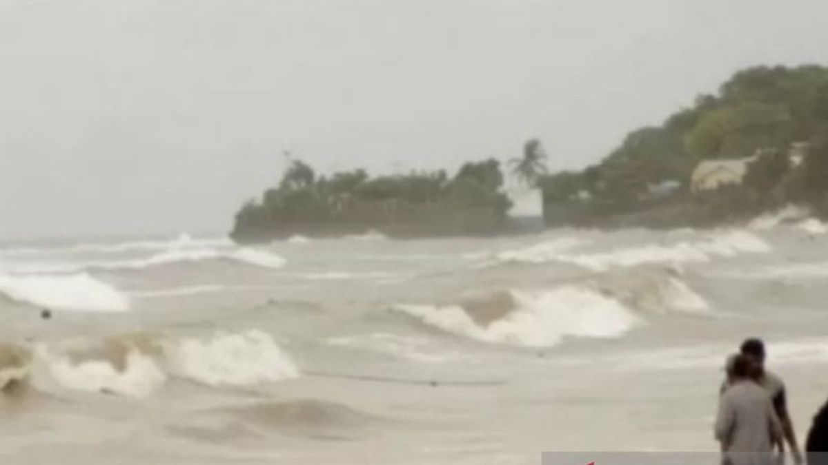


KUPANG - Tenau-Kupang Maritime Meteorology Station, Meteorology, Climatology and Geophysics Agency (BMKG) reported that sea waves as high as 3.5 meters have the potential to hit the waters south of Sumba Island and Sabu Island.
"This potential wave of 2.5-3.5 meters needs to be watched out for because it poses a high risk to ferry shipping," said Head of the BMKG Tenau-Kupang Maritime Meteorological Station Syaeful Hadi in a statement received in Kupang, Antara, Friday, May 20.
The potential for high waves is estimated to occur in the next three days (May 21-23). Syaeful explained that in general the waters of East Nisa Tenggara (NTT) experienced moderate (1.25-2.5 meters) and low (1.5-1.25 meters) waves.
Areas that have the potential to be hit by moderate waves include the western and eastern parts of the Sumba Strait, the northern and southern parts of the Savu Sea.
In addition, the waters north and south of Kupang-Rote and the Indian Ocean south of Kupang-Rote.
"The potential for medium waves also needs to be watched out for because it poses a high risk to fishing boats and barges," he said.
SEE ALSO:
Meanwhile, the results of the synoptic condition analysis show that generally, the wind blows from the Northeast to the Southeast with a speed of 2.7 on the Beaufort Scale.
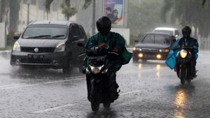
Syaeful appealed to fishermen and ship operators to continue to update weather information in the waters to prepare a safe and smooth sailing plan or avoid the impact of bad weather.
The English, Chinese, Japanese, Arabic, and French versions are automatically generated by the AI. So there may still be inaccuracies in translating, please always see Indonesian as our main language. (system supported by DigitalSiber.id)


Related News