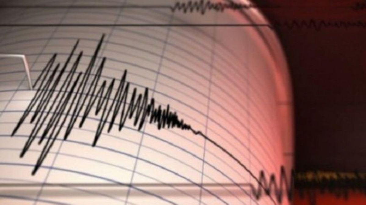


PAPUA - The Meteorology, Climatology and Geophysics Agency (BMKG) stated that an earthquake with a magnitude of 5.1 on Tuesday, May 17 in the Senggih area, Keerom Regency, Papua did not have the potential to cause a tsunami.
Head of the BMKG Earthquake and Tsunami Center, Bambang Setiyo Prayitno, said that based on the results of the analysis of the tectonic earthquake that shook the Keerom region, it had an updated parameter with a magnitude of 4.8.
"Based on the location of the epicenter of the earthquake, it is located at coordinates 3.61 ° South Latitude, 140.44 ° East Longitude or precisely located on land in the Senggi area, Keerom, Papua at a depth of 111 km", he said in a press release received in Jayapura, Antara, Tuesday, May 17.
According to Bambang, taking into account the location of the epicenter and the depth of the hypocenter, the earthquake that occurred was a medium-sized earthquake due to subduction activity.
"The results of the analysis of the source mechanism show that the earthquake has an upward shear movement mechanism", he said.
SEE ALSO:


He explained that this earthquake had an impact and was felt in the Jayapura area with an intensity scale of II MMI, but as of 14:42 WIB or 16:42 WIT, there had been no aftershock activity.
Meanwhile, a resident of Jayapura Mega-City said he did not feel the earthquake that occurred in the Keerom area at 14.30 WIB or 16.30 WIT.
The English, Chinese, Japanese, Arabic, and French versions are automatically generated by the AI. So there may still be inaccuracies in translating, please always see Indonesian as our main language. (system supported by DigitalSiber.id)


Related News