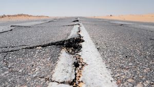


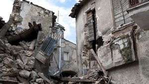
LOMBOK - The Meteorology, Climatology and Geophysics Agency (BMKG) stated that an earthquake measuring 4.6 magnitude rocked the Lombok area, West Nusa Tenggara on Tuesday, January 25 morning.
As reported by bmkg.go.id the epicenter was located at coordinates 8.78° South Latitude; 116.14° East Longitude, or precisely located on land at a distance of 16.14 km northwest of West Lombok, NTB at a depth of 10 kilometers.
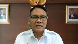
"At 05.14 central Indonesia time, the Lombok area was rocked by a tectonic earthquake," said PLH Head of Mataram Geophysics Station Eka Sri Sulistianingsih.
SEE ALSO:
-
 | BERITA
Diguncang Gempa Magnitudo 6,1, Warga Kepulauan Sangihe Sulut Tak Panik
22 Januari 2022, 17:38 -
 | BERITA
BMKG: Gempa M 6,6 di Banten jadi Pembelajaran untuk Kesiapan Mitigasi
21 Januari 2022, 17:57
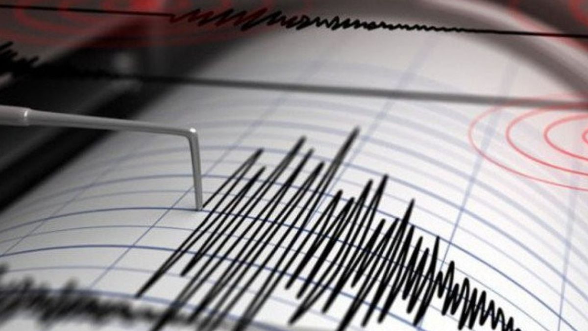
Based on the monitoring results, 1 aftershock was recorded and even that is of small strength so far. By taking into account the location of the epicenter and the depth of the hypocenter, the earthquake that occurred was a shallow earthquake caused by active fault activity on land.
"The results of the analysis of the source mechanism show that the earthquake has a shear mechanism," he said.
"BMKG urges the public to remain calm and not be influenced by issues that cannot be justified, avoid buildings that are cracked or damaged by the earthquake, Check and make sure the building where you live is earthquake-resistant enough, or there is no damage due to earthquake vibrations that endanger the stability of the building before you return home," he said.
Until this news was published, there was no information on the damage to houses caused by the earthquake that rocked NTB.
The English, Chinese, Japanese, Arabic, and French versions are automatically generated by the AI. So there may still be inaccuracies in translating, please always see Indonesian as our main language. (system supported by DigitalSiber.id)
Most Popular Tags
#Constitutional Court #israel #iran #Palestine #Kartini's dayPopular


Related News