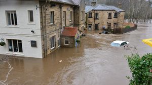
JAKARTA - The Meteorology, Climatology and Geophysics Agency (BMKG) has issued a warning regarding the potential for extreme weather events in parts of Indonesia until December 9, 2021. Head of BMKG Dwikorita Karnawati said, based on the results of the latest analysis in the next week, it is predicted that an increase in dynamics will occur. atmosphere that can increase the potential for extreme weather events in parts of Indonesia. "Most parts of Indonesia have entered the rainy season period. With indications of the active La Nina phenomenon during this rainy season, awareness of the potential for an increase in rainfall above normal must be increased. " he said as quoted in a BMKG press release received in Jakarta, reported by Antara, Friday, December 3. Dwikorita explained that the move away from the Nyatoh Cyclone system and the 94W cyclone seeds from Indonesian territory opened up opportunities for other atmospheric dynamics to increase, namely the increase in the flow of air masses flowing into the atmosphere. quite intense from the South China Sea region to the south into the Indonesian atmosphere. These conditions, he continued, can increase the potential for rain cloud growth that can cause high rainfall in Indonesian territory. "Beware of hydrometeorological disasters that may accompany it. Starting from floods, landslides, flash floods, strong winds, tornadoes and so on," he said.
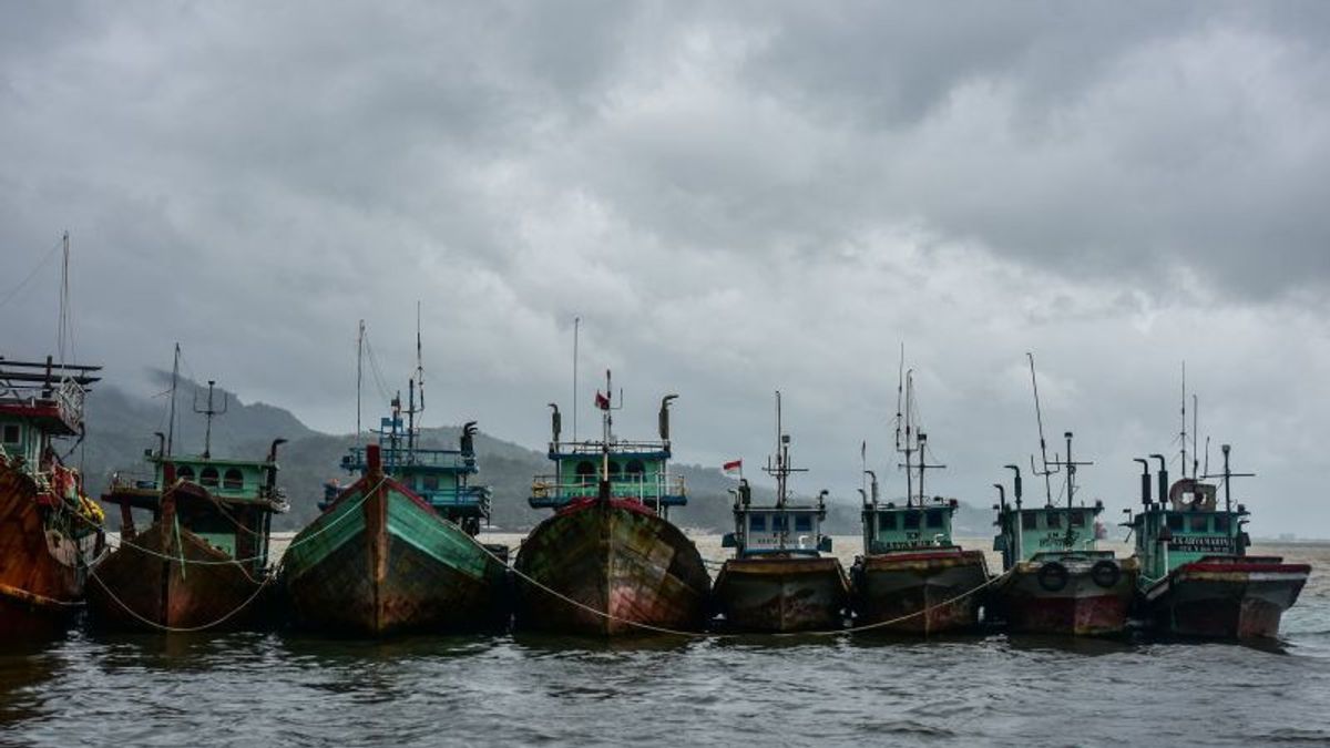
He explained that although they did not have a significant impact on weather conditions in Indonesia, Tropical Cyclone Nyatoh and Cyclone 94W seeds could cause high waves in several Indonesian waters. The cyclone is moving in a north-northwest direction and its intensity will continue to strengthen for the next 24 hours. Meanwhile, the 94W Cyclone seeds in the vicinity of the Bay of Bengal in the next 24 hours are predicted to continue to move to the northwest. Even so, the impact on potential waves with a height of 2.5 to four meters still needs to be watched out for in some water areas," said Dwikorita. the western waters of the Natuna Islands, the waters of the Subi Serasan Islands, the northern waters of the Sangihe Islands, the northern waters of the Talaud Islands, the northern part of the Maluku Sea, the northern waters of Halmahera, the Halmahera Sea, and the northern Pacific Ocean from Halmahera to Papua. has the potential to generate waves with a height of four to six meters above sea level the waters of the North Natuna Sea and the northern waters of Natuna.
The English, Chinese, Japanese, Arabic, and French versions are automatically generated by the AI. So there may still be inaccuracies in translating, please always see Indonesian as our main language. (system supported by DigitalSiber.id)


